Transit-oriented development — commonly abbreviated TOD — describes a planning approach that concentrates higher-density, mixed-use development within walking distance of rapid transit stations. The logic is straightforward: place homes, offices, and daily services close enough to transit that residents can reasonably use it without a car, and the transit investment becomes self-reinforcing. More people live within walking distance; more people ride; the route becomes financially viable.
In Canadian practice, the gap between that logic and what actually gets built near transit stations is substantial. Understanding why requires looking at each city's specific combination of land tenure, zoning history, and transit governance — because the obstacles differ significantly from one metropolitan area to another.

Metro Vancouver: the most advanced TOD policy framework in Canada
Metro Vancouver's regional growth strategy has explicitly tied density targets to transit station areas since the early 2000s. TransLink's 2041 Regional Transportation Plan sets ridership targets that assume significant densification within 800 metres of SkyTrain and rapid bus stations. Municipal official community plans in Burnaby, Surrey, and Coquitlam have translated these targets into station-area precinct plans that designate residential densities of 200 or more units per net hectare within the core 400-metre walking zone.
What's notable about Metro Vancouver's approach is the use of Community Amenity Contributions (CACs) — negotiated payments from developers to municipalities in exchange for rezoning approvals — to fund affordable housing, parks, and community facilities within TOD areas. This mechanism, controversial because it introduces uncertainty into development economics, has nonetheless enabled several municipalities to extract public benefit from the land value increases created by rezoning near transit.
Burnaby's Metrotown station area is frequently cited as an example of what mature TOD looks like: a grid of high-rise residential towers above a regional shopping centre, surrounded by mid-rise rental and strata buildings, all within 600 metres of a SkyTrain station. Vacancy rates in the area are low, transit ridership from the station is among the highest in the system, and new construction continues. The critique — increasingly voiced by planners and residents — is that the density has come without adequate public realm investment: pedestrian infrastructure, parks, and street-level activation lag behind the residential construction.
The Broadway Corridor as a test case
The Broadway Subway extension, which opened in 2024, extended SkyTrain along Broadway in Vancouver through areas that had previously been served only by surface bus. The City of Vancouver spent several years preparing a Broadway Plan — a 30-year land-use framework for the corridor — in anticipation of the extension. That plan allows residential towers of 20 to 40 storeys within the immediate station catchment areas, stepping down to mid-rise and then low-rise as distance from stations increases.
Early implementation has been contentious. Rental replacement policies — which require that any rental housing demolished for redevelopment be replaced at equivalent or lower rents — have added complexity to project economics in a corridor where the existing housing stock includes a significant share of older rental apartments. Several projects that were anticipated in the plan's first implementation years have been delayed due to the combination of high construction costs, interest rate conditions, and the rental replacement requirements.
Calgary's approach: C-Train as a catalyst for mixed-use redevelopment
Calgary's C-Train light rail system runs through the downtown core and extends to suburban termini in the northeast, northwest, and south. The city's Main Streets program, which designated several arterial corridors for mixed-use intensification, aligned with C-Train routes in several cases. More recently, the Green Line project — a new LRT corridor running north-south through the city — has prompted a round of station-area planning that represents Calgary's most systematic attempt at TOD to date.
What distinguishes Calgary's situation is the land market context. After the 2015 oil price decline, Calgary experienced years of office vacancy and economic contraction that left surplus land and underutilized commercial properties in several transit-adjacent areas. This actually created a more favourable TOD environment in some respects: land was available, existing uses were not generating high returns, and owners were more receptive to redevelopment discussions than they might have been during an energy boom.

The 17th Avenue corridor and the Beltline neighbourhood — both within walking distance of downtown C-Train stations — have seen sustained residential densification since 2018. The Beltline in particular has added thousands of residential units in a mix of condo and rental, with ground-floor commercial uses on major streets. Calgary's land-use bylaw allowed this incrementally through a series of direct control districts and later through blanket rezoning that simplified the approval process for multi-unit residential.
Green Line planning and the land assembly problem
The Green Line, after years of design changes and funding negotiations, is proceeding with a modified alignment and scope. Station areas along the route include several blocks that are currently in low-intensity commercial and industrial use. Converting these parcels to residential mixed-use at the densities that would support TOD requires land assembly — combining multiple lots under a single developer or land trust — which is both time-consuming and expensive.
Calgary has not adopted strong land assembly tools. Unlike some European cities with compulsory purchase powers for TOD sites, Canadian municipalities generally cannot compel landowners to sell at assessed value or participate in assembly agreements. This means that TOD in Calgary's Green Line corridor depends on market-driven assembly, which tends to happen unevenly and leaves gaps in the development pattern that reduce the coherence of the station areas.
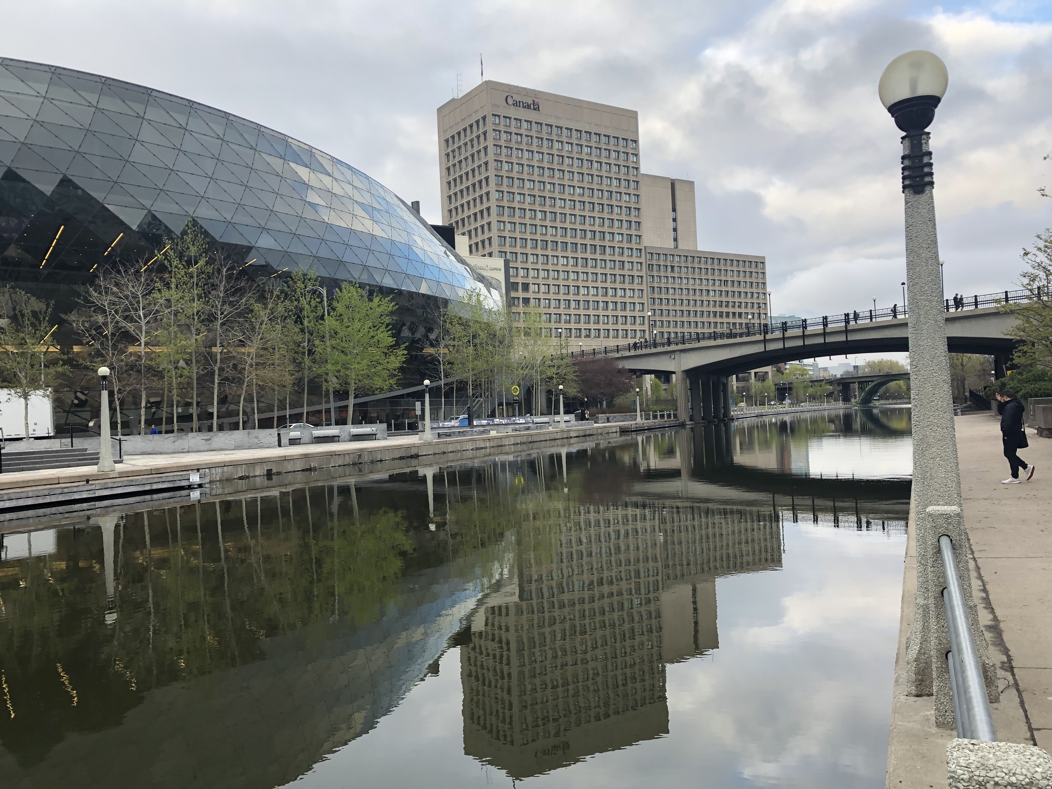
Ottawa's Confederation Line: early results and outstanding questions
Ottawa's O-Train Confederation Line opened in September 2019, following years of construction and a testing period marked by technical delays. The line runs from Blair in the east through downtown Ottawa to Tunney's Pasture in the west, with a subsequent extension to the airport. Station areas along the route were the subject of Secondary Plans prepared by the City of Ottawa over the preceding decade, setting out density targets and land-use designations for the 600-metre walking catchment around each station.
The earliest assessment of Confederation Line TOD outcomes, published by researchers at Carleton University in 2023, found a mixed picture. Stations in the downtown core and immediately adjacent areas — particularly around Rideau and uOttawa — had attracted residential and commercial development consistent with the secondary plan targets. Stations further east in areas like St. Laurent and Blair had seen less activity, constrained by the car-oriented existing land uses, lower land values, and secondary plan designations that were less permissive than those closer to downtown.
The Confederation Line's operational record has also complicated the narrative around transit-as-anchor-for-development. Repeated service disruptions through 2020 and 2021, related to wheel-rail interface issues and door mechanism failures, created public confidence problems that affected ridership recovery after COVID-19. Developers making long-term investments in station-area properties are generally looking at 30-year time horizons, so short-term service disruptions don't derail TOD. But the disruptions did complicate Ottawa's ability to point to the LRT as a reliable anchor for planning decisions.
Edmonton and the LRT network expansion
Edmonton's original North-South LRT line, opened in 1978, is one of the oldest light rail systems in North America outside of legacy streetcar networks. The city has spent the intervening decades expanding the network: the Valley Line West opened in 2023, adding a surface LRT connection through Mill Woods, downtown, and west Edmonton.
Edmonton's TOD policy has historically been less prescriptive than Vancouver's or Calgary's, with station-area plans that set aspirational density targets without the enforcement mechanisms needed to realize them. The city's Zoning Bylaw Renewal, completed in 2023, was intended to address this by establishing as-of-right zoning for higher-density residential and mixed-use in designated transit node areas. Early results suggest the revised bylaw is generating more development inquiries in station areas, though the pipeline from inquiry to completed construction takes several years to show up in statistics.
The federal government's role: Housing Accelerator Fund and transit linkages
Since 2023, the federal government's Housing Accelerator Fund has introduced a mechanism that explicitly links federal housing infrastructure funding to municipal commitments on zoning reform and transit-area density. Cities that receive Housing Accelerator Fund allocations are expected to submit action plans that include specific measures to enable housing supply near transit.
This has created a new incentive structure for Canadian municipalities. Cities that had been reluctant to mandate transit-area density for political reasons — neighbourhood opposition to height and traffic are perennial concerns — now have a financial reason to move forward. The extent to which HAF funding translates into built density will take several years to assess, but the policy architecture is more integrated with transit planning than any previous federal housing intervention.

